

Environmental Monitoring & Research
Fieldwork is often the most time-consuming and expensive part of a research project. Our services allow your scientists to gather critical data with high precision, all while minimizing time and risk in the field.
-
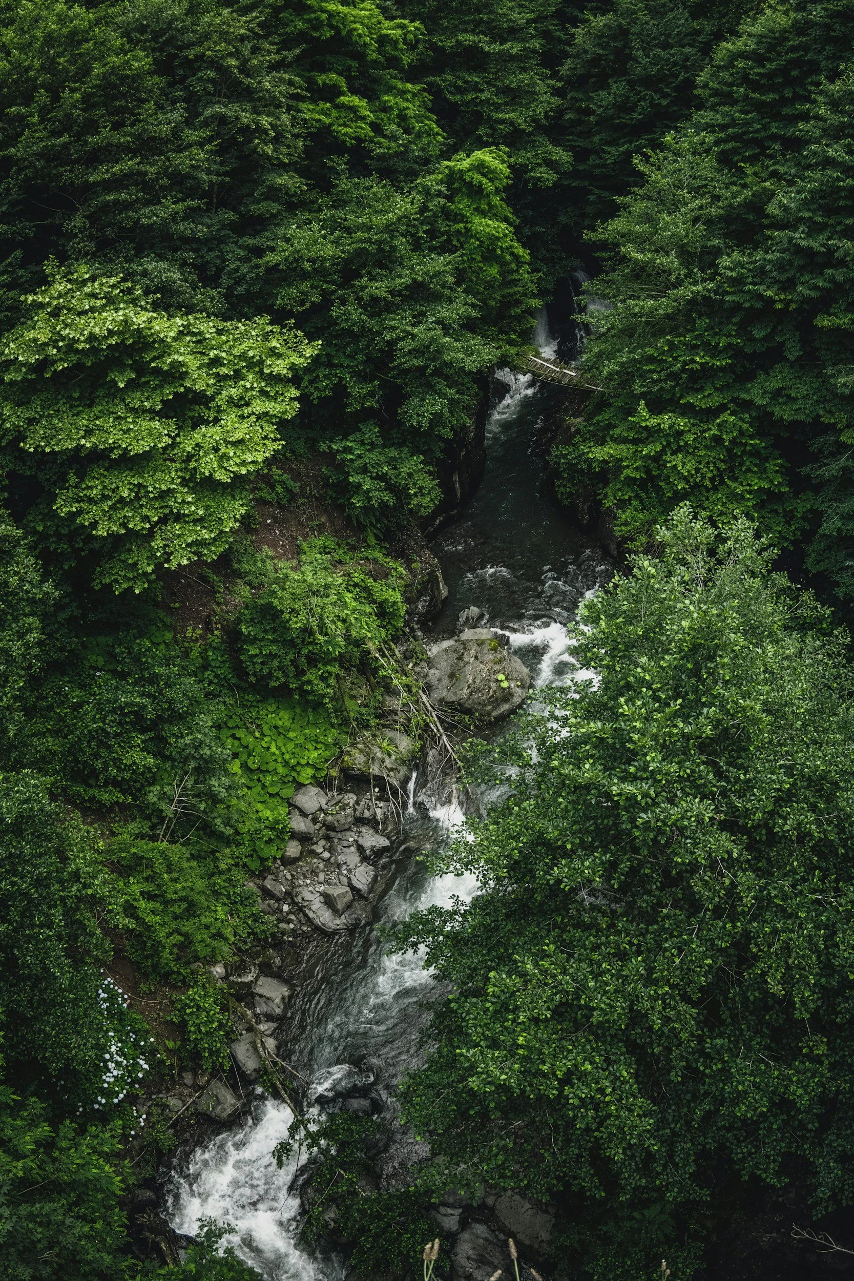
We solve the pain of high-risk manual data collection in challenging environments. Our services provide high-precision, non-contact 3D data capture for monitoring geological and environmental changes. This allows you to obtain detailed digital replicas of complex cave systems or glaciers for scientific study without exposing personnel to risk.
-
We solve the problem of environmental data decay and loss. By creating detailed, immutable digital records of vulnerable natural specimens or geological formations, we ensure their preservation even if the physical object is damaged or lost. You can then perform comparative analysis of scan data to identify and map changes over time.
Real-World Applications
Glacier & Climate Change Monitoring:
Utilize 3D laser scanning to monitor changes in Alpine glaciers.
Cave Mapping & Research:
Create detailed 3D replicas of complex cave systems for scientific study and exploration planning.
Immersive Learning & Research Opportunities:
Create highly realistic 3D models of scientific specimens or complex machinery for interactive virtual classrooms, research, and remote study. Digitizing a complex geological formation allows students worldwide to explore it in a virtual 3D environment, eliminating costly and logistically challenging physical field trips.
Permanent Digital Archiving & Preservation of Collections:
Obtain detailed, immutable digital records of vulnerable natural specimens, safeguarding them against deterioration, damage, or loss.