
Services
From fast, affordable as-built documentation to BIM coordination, site/terrain intelligence, and full project planning support, every service is built around one goal: giving you accurate, usable data about the real world.
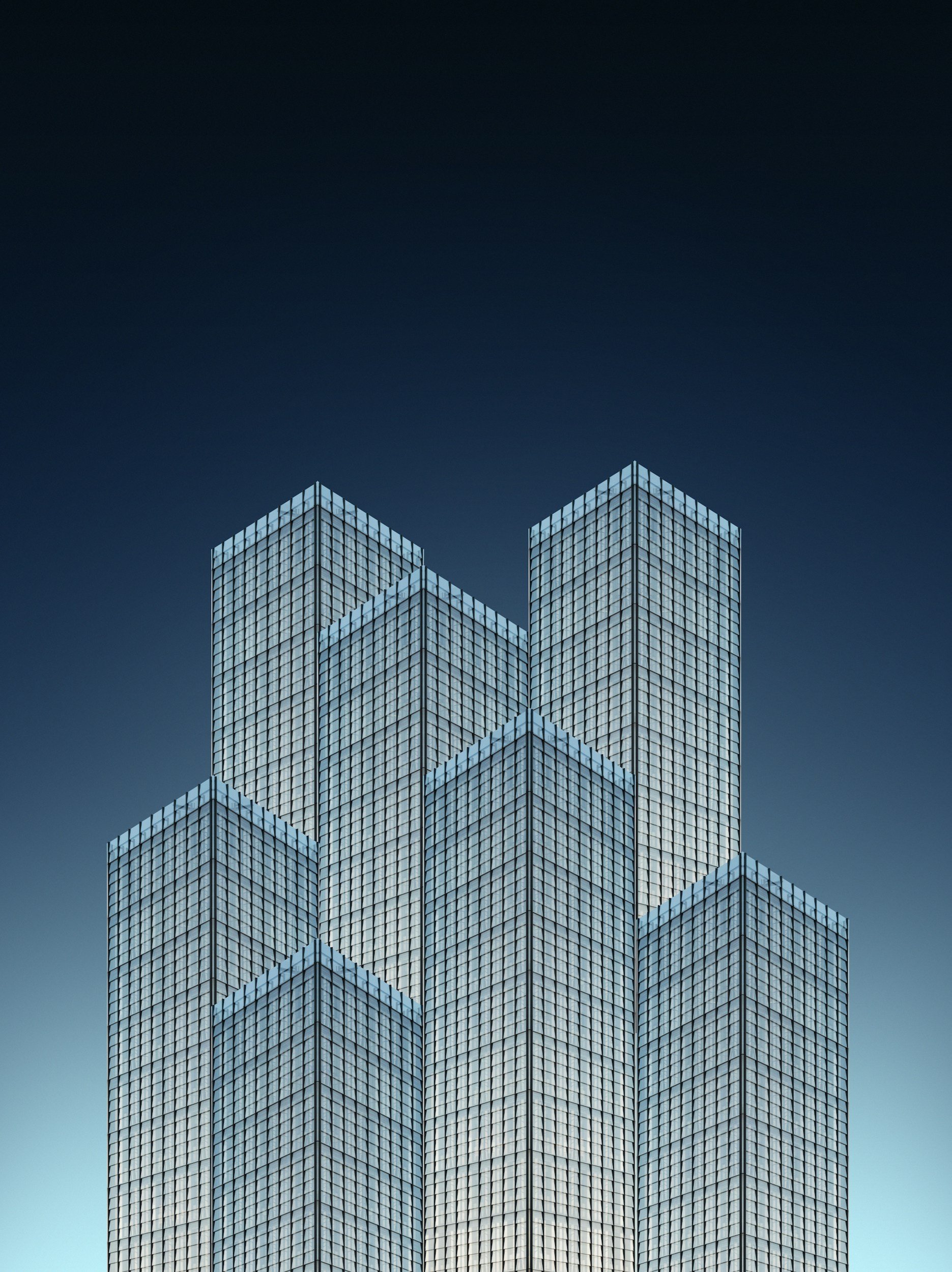
2D/3D As-Built Packages
Built for residential and commercial projects alike. One clear price, one clear deliverable set, no confusing options, no guessing what you’ll get.
LOD 200 Revit Model: A coordinated 3D Revit model at LOD 200, ready for early planning & design.
Floor Plan: Existing floor layout, dimensioned and easy to read.
Interior & Exterior Elevations: Clean elevation views for every side of the building.
Reflected Ceiling Plan: Ceiling layouts, heights, and fixtures, mapped and ready for coordination.
Roof Plan: Precise roof geometry, documented and ready to reference.
Extras: Easily add on a site plan, MEP modeling, outlets/switches, higher levels of detail, along with several other useful outputs.
Volume Discounts
Projects of 10,000 SF or more receive a discounted rate, and projects of 20,000 SF and above get our best pricing. Whatever the size of your building, we'll make sure you get the right deliverables at the right price.
3D for the Life of Your Project
For larger builds and multi-site owners, Obsidian 3D stays involved from start to finish, capturing each important stage so every decision is based on what's actually in the field.
Fully Integrated Build Project
We scan at each major construction milestone, and every scan is checked against the design. Problems get caught while they're still cheap to fix, quality increases, re-work decreases, and every stage is documented.
Site Selection: Scan candidate sites so owners and designers can compare their options with real data.
Existing Site Capture: A survey-grade scan of the site before any work begins, ready for civil and heavy civil teams to design and bid from.
Clearing & Grading Verification: Confirm the cleared and graded site matches the plans before anything is built on it.
Pre-Pour Capture: Record rebar, stub-outs, sleeves, and embeds while they're still exposed. It's a permanent record of what's inside the concrete.
Post-Pour Verification: Check slabs and foundations for flatness, elevation, and placement before framing starts.
Rough-In Capture: Document MEP, framing, and blocking before drywall covers them, so future renovations never have to guess what's behind the walls.
Construction Quality Control: At every visit, we compare the scan to the design model and flag deviations early, before they turn into rework, delays, or disputes.
Closeout & Digital Twin: Hand over a final as-built model and point cloud, built from verified data, that's ready for operations and facilities management.
Hosted Access: Every scan from every stage lives in one secure cloud viewer. Owners, designers, contractors, and inspectors can all open it in a browser, during the project and long after it's finished.
Enterprise & Multi-Site Programs
For owners of many sites, such as agencies, districts, campuses, and portfolios, we build a complete 3D catalog of your assets.
Portfolio-Wide Capture: A phased plan to bring every site into 3D, starting with the sites that have upcoming projects or the most risk.
Consistent Standards: Every site is captured, processed, and delivered to the same specs and tied to real-world survey control, so the data lines up across your whole portfolio.
One Central Catalog: Every site sits in a single hosted library. Staff and consultants can open it from anywhere, with no software to install.
Scheduled Updates: Planned re-scans keep the catalog current as sites change, and each one adds to a documented history of your assets over time.
Compounding Value: Every site you add makes the whole catalog more valuable. Planners can compare sites side by side. Designers can start projects without an extra site visit. Maintenance crews know what's there before they arrive. When an insurance claim, emergency, or capital request comes up, the answer is already on file. A portfolio in 3D is a strategic asset that pays off with every project that follows.
Decisions are cheapest where they are most powerful
Obsidian 3D moves the work, scan, model, coordinate, into the window where design still bends without cost.
Reality capture and coordinated modeling peak in schematic design, while change is still free.
Effort lands in construction documents, issues surface after the decisions are locked.
Ability to impact cost falls as fast as the cost of change climbs.
Schematic design through design development: maximum leverage, minimum cost.
The Equipment
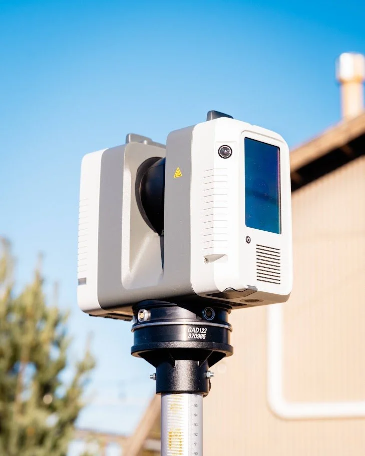
Leica RTC360 3D Laser Scanner
The Leica RTC360 is a survey-grade terrestrial laser scanner built for fast, high-accuracy reality capture. It records up to 2 million points per second and captures a full-dome scan with spherical HDR imagery in under two minutes. Scans are registered automatically in the field, so we leave every site knowing the dataset is complete.
Performance
Measurement Rate: up to 2,000,000 points/sec
Range: 0.5 m – 130 m
3D Point Accuracy: 1.9 mm @ 10 m / 2.9 mm @ 20 m / 5.3 mm @ 40 m
Range Noise: 0.4 mm @ 10 m
Field of View: 360° horizontal × 300° vertical
Selectable Resolution: 3 / 6 / 12 mm @ 10 m
Imaging
Three-camera system (36 MP), 432 MP raw capture per setup
Calibrated 360° × 300° spherical imagery with 5-bracket HDR
Full-color point clouds for photoreal visualization and inspection
Automated Workflow
Visual Inertial System (VIS): real-time tracking and pre-registration between setups, with no targets needed
Double Scan technology: automatically removes "ghost points" from people, vehicles, and other moving objects
On-site data check on the Leica Cyclone FIELD 360 tablet app before we leave the site
Direct workflow into Leica Cyclone REGISTER 360 for final registration and QA/QC reports
Field Ready
IP54 rated for dust and water
Operating range: −5 °C to +40 °C
Class 1 eye-safe laser
Compact 5.35 kg body, one-button operation, and fast setup-to-setup moves
What’s on the Horizon?
Obsidian 3D’s roadmap extends beyond documentation, toward tools that use the same accurate data to actively manage schedule, cost, and machine precision on site.
4D Scheduling
Linking project schedules directly to your as-built model, so progress can be tracked against the real site, not just a spreadsheet.
5D Cost Estimating
Connecting the model to real cost data, so estimates stay grounded in what’s actually there, not assumptions.
Machine Control
Feeding accurate 3D data directly into machine control systems, the same category of technology behind Leica Geosystems’ precision earthmoving and grading solutions, for tighter, faster fieldwork.