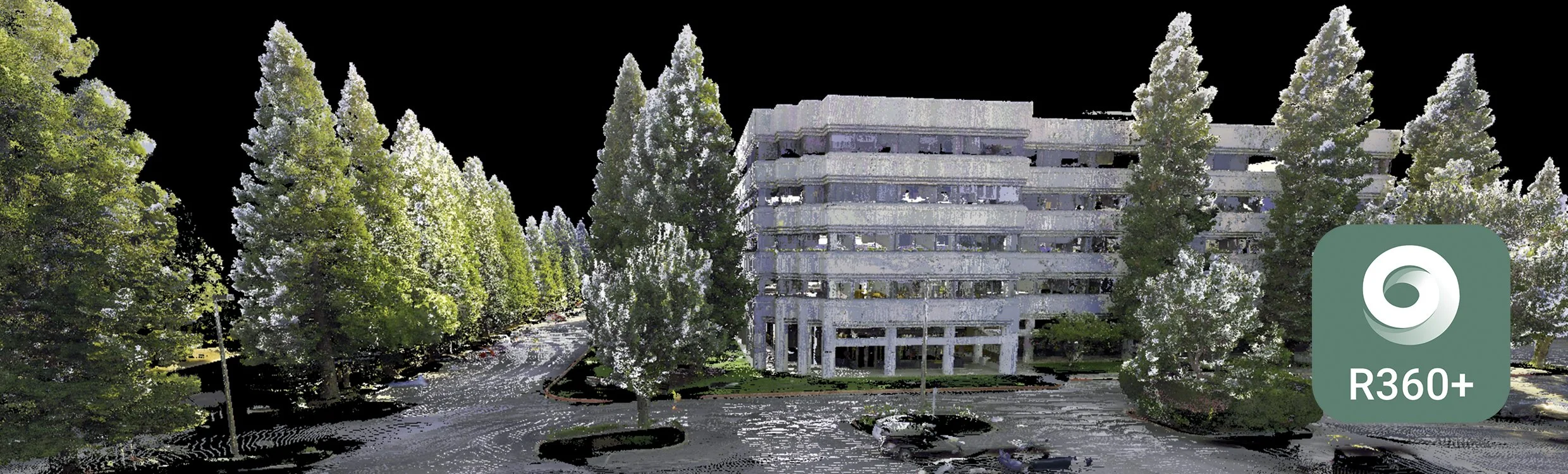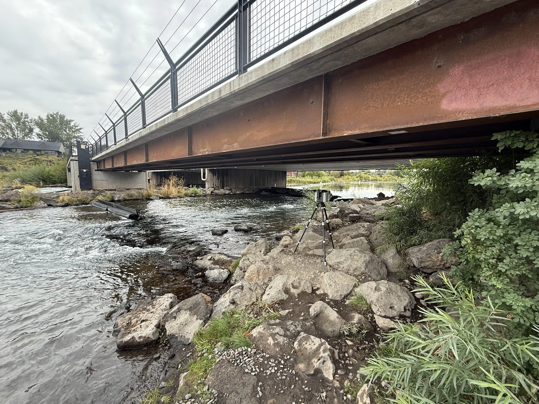
More Than Just a Pretty Picture
Whether it’s a single project or an enterprise-wide asset base, here’s some of what verified 3D data makes possible:
Pull an exact digital dimension, elevation, or clearance anywhere on site, without sending someone out with a tape measure or total station.
Overlay a proposed design directly onto verified as-built conditions, and see where the drawings and reality disagree before construction starts.
Generate cross-sections, profiles, volume & quantity takeoffs for grading or MEP work straight from the data, at any location you choose, not just the spots someone happened to survey.
Hand a contractor, consultant, or stakeholder a walkable, measurable model of the site, without requiring an in-person visit.
Preserve an exact, timestamped record of site conditions before construction begins, protecting you if there's ever a dispute over existing conditions, utility locations, or code compliance.
De-risk pre-fabrication work by giving contractors a path to build components off-site against real, measured conditions, instead of field-measuring, which is where long schedule and cost overruns usually start.
Build crisp, high-definition rendered presentations of new design options set directly into the real, existing site, not a generic rendering, but options your team and stakeholders can see grounded in what’s actually there today.
Simulate sun and shade across the entire site for any time of day, any time of year, useful for siting shade structures, seating, plantings, or any feature where sun exposure matters.
Simulate crowd movement, circulation, and emergency or evacuation scenarios through the actual measured geometry of the site, before a single design decision locks in how people will move through the space.
Future-proof the site(s) for whatever comes next; 4D scheduling, 5D cost integration, machine control for grading and excavation, AI-driven analysis, and tools that don’t exist yet, all of it runs on the same verified 3D foundation.
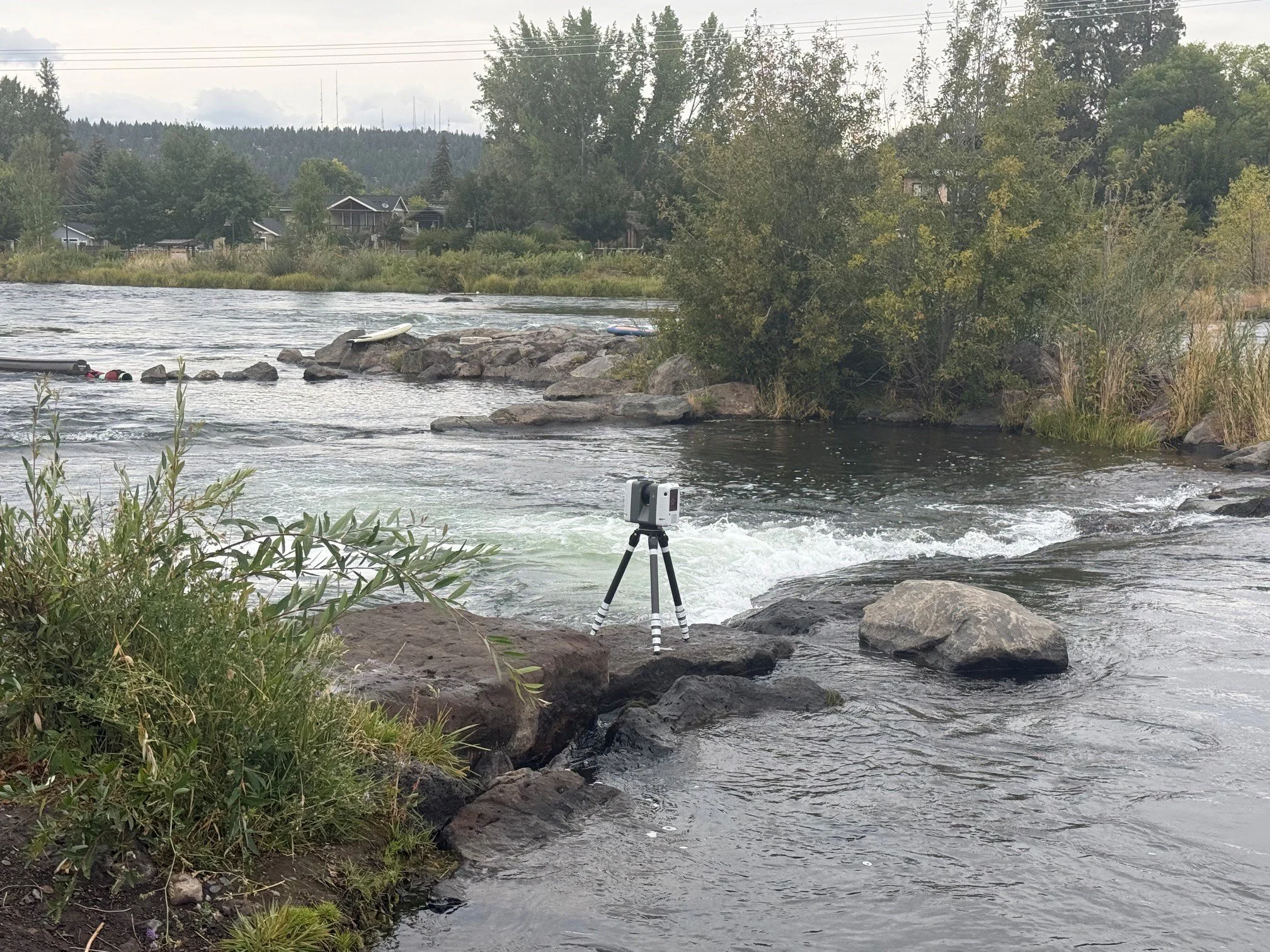
Lower risk. Better quality. Protected budgets and schedules. That's what calibrated 3D scanning brings to every project.
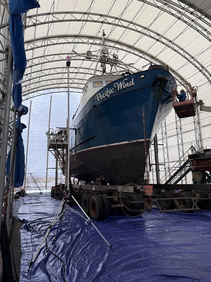
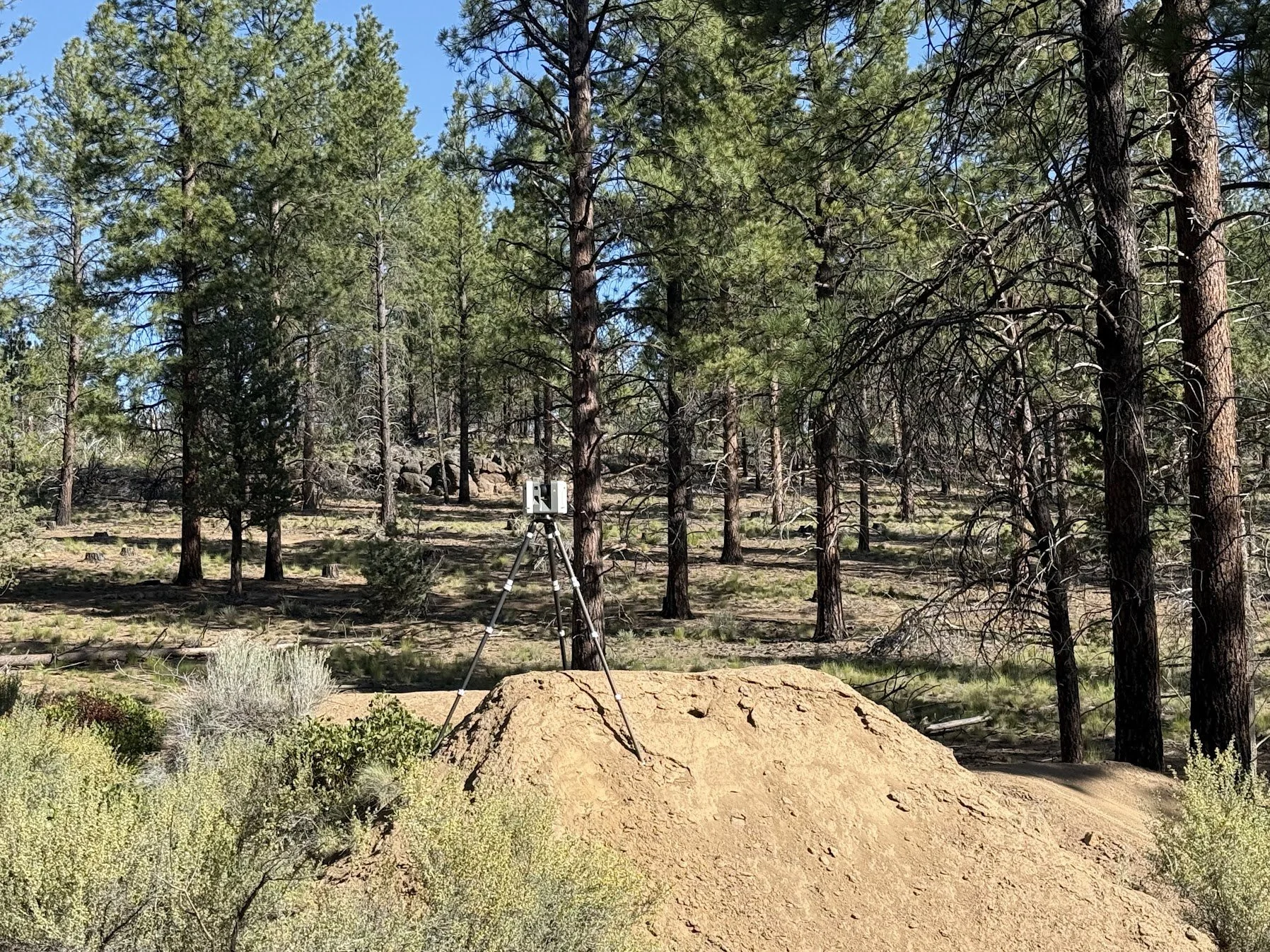

One accurate 3D dataset creates layers of value and insights across every part of your project.