
Industries We Serve
Different fields, same underlying need: accurate, accessible project data. Here’s how Obsidian 3D fits into your world specifically.
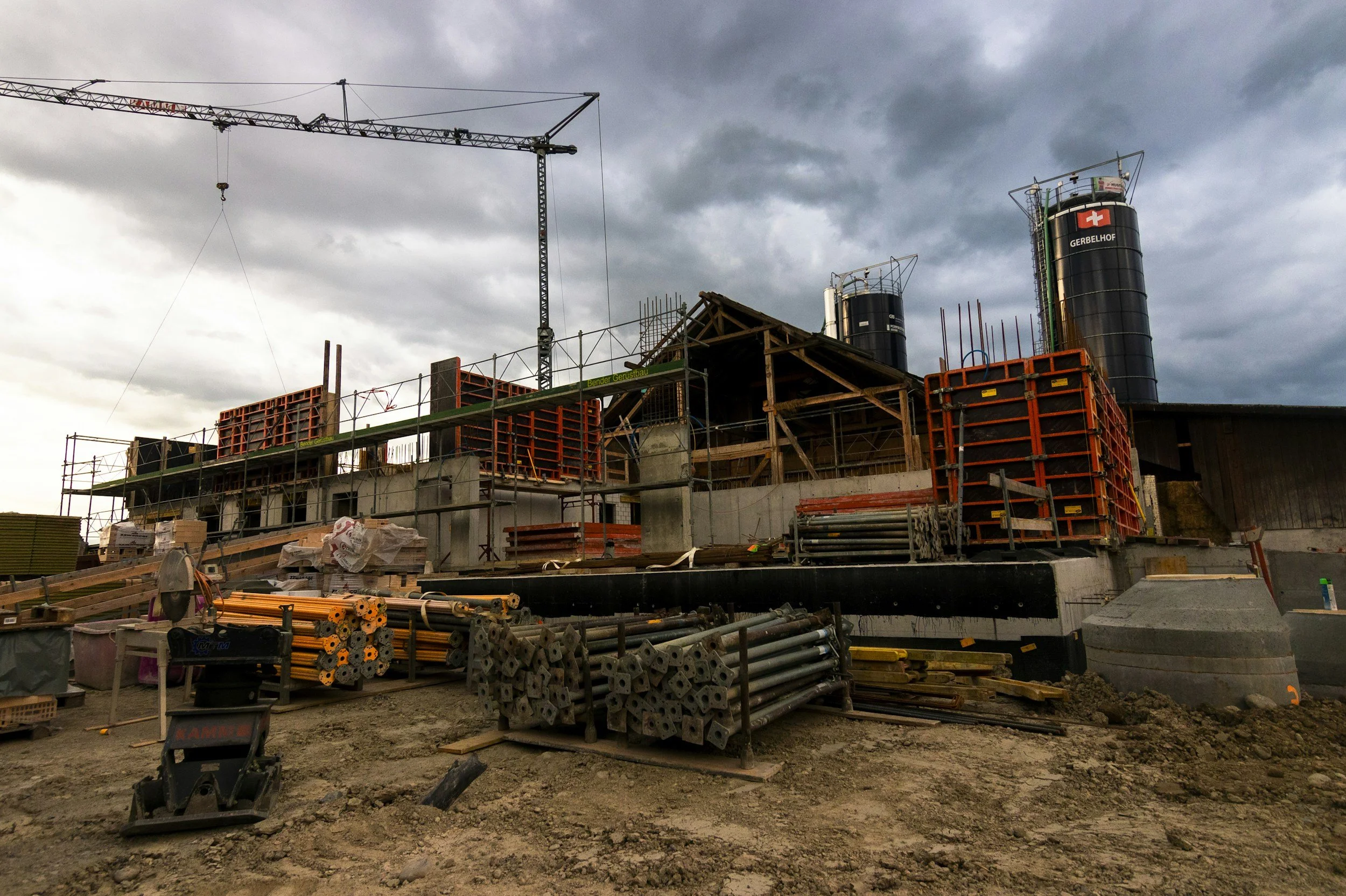
Construction
Survey-grade laser scanning captures existing conditions to millimeter-level accuracy before design begins, so architects and engineers model against what is actually built rather than outdated drawings. During construction, progress scans verify installed work against the model and flag deviations before they are covered up, giving every trade a shared reference for coordination and prefabrication. At closeout, owners receive a verified as-built record in Revit, CAD, or clean 2D plans.
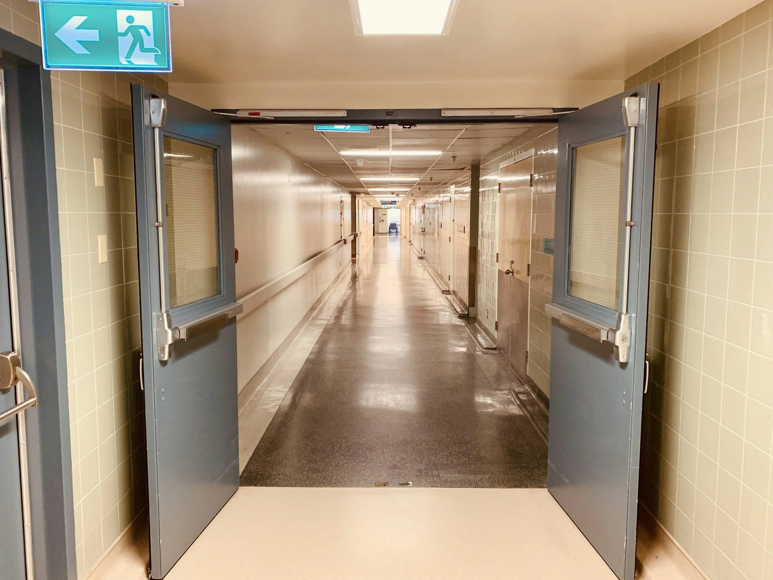
Healthcare
Hospitals and clinics are dense with MEP systems, medical gas lines, and above-ceiling infrastructure that rarely match the drawings on file. Laser scanning documents occupied facilities quickly and non-invasively, often after hours or one unit at a time, without shutting down care areas. The resulting point cloud and BIM model support renovation design, equipment planning, and infection-control phasing, and give facilities teams an accurate reference for long-term maintenance.
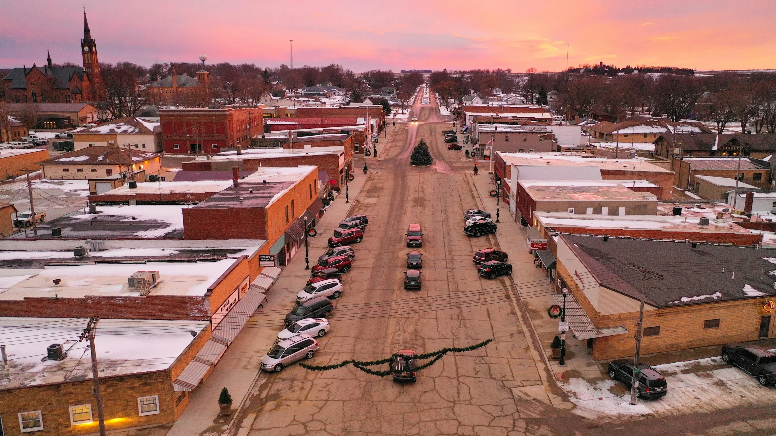
Government
Cities, counties, and park districts manage buildings, parks, and public works that often lack reliable records. 3D scanning creates an accurate, measurable baseline of civic assets, from city halls and libraries to plazas and recreation facilities, that planners, engineers, and maintenance crews can all work from. The data supports capital planning, condition and accessibility assessments, and renovation design, and it preserves institutional knowledge as staff and consultants change over time.
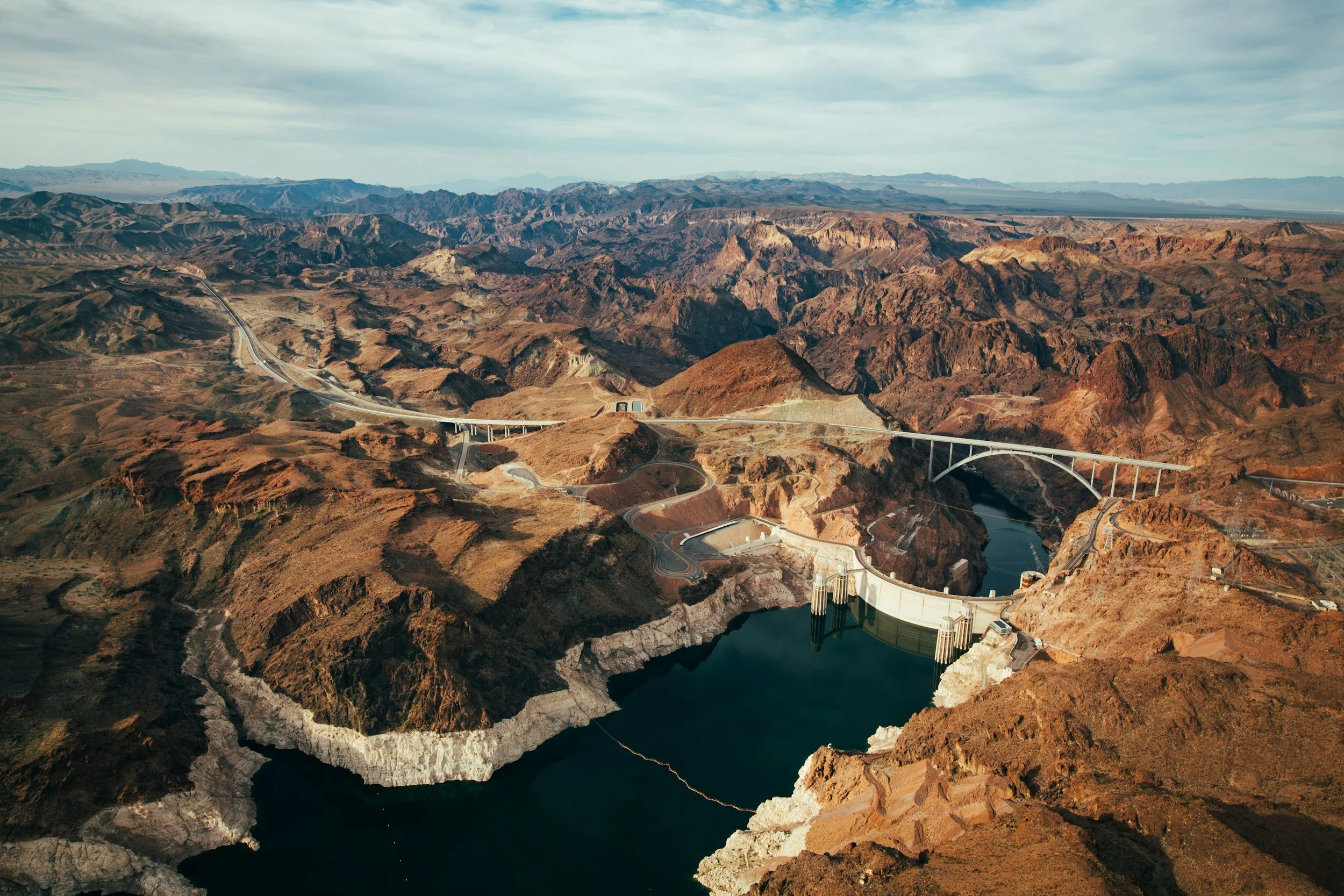
Infrastructure
Bridges, utilities, treatment plants, and large sites are difficult, and sometimes unsafe, to measure by hand. Terrestrial laser scanning captures complex geometry and terrain from a safe distance, producing point clouds, digital terrain models, and CAD deliverables engineers can design against with confidence. Repeat scans track change, settlement, or construction progress over time, cutting down on field visits and the risk of design errors on high-stakes projects.
Maritime
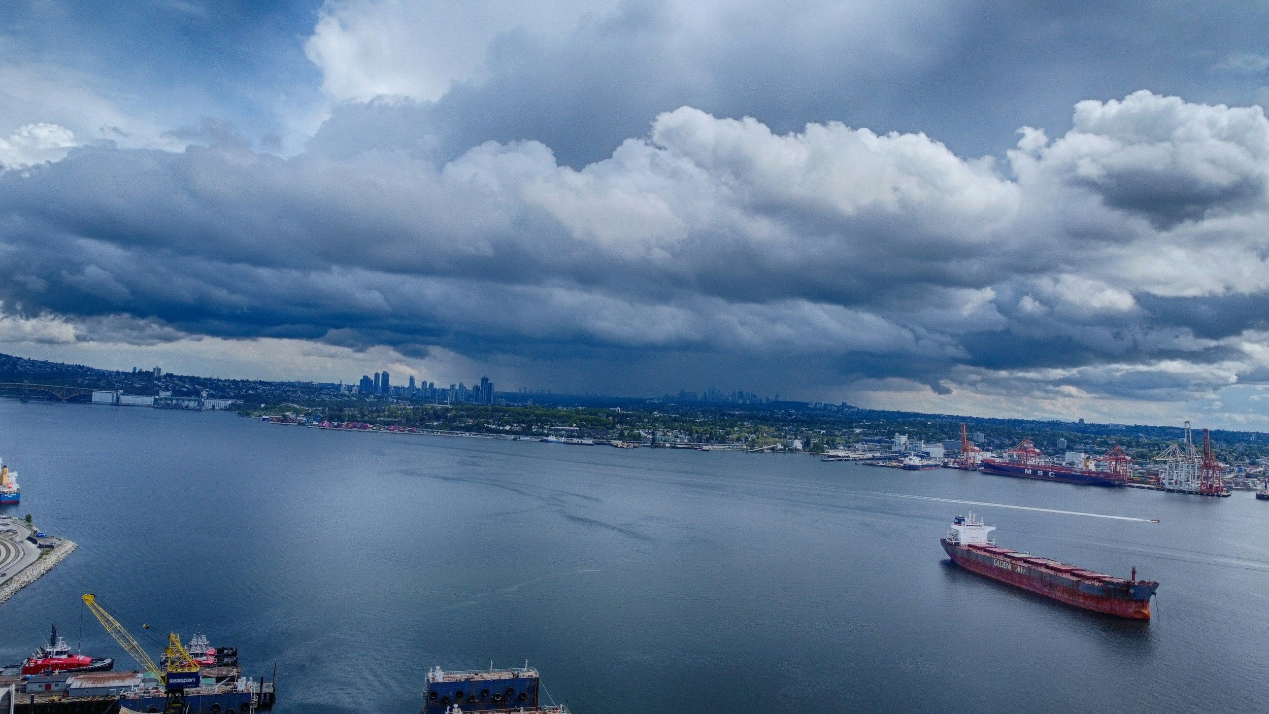
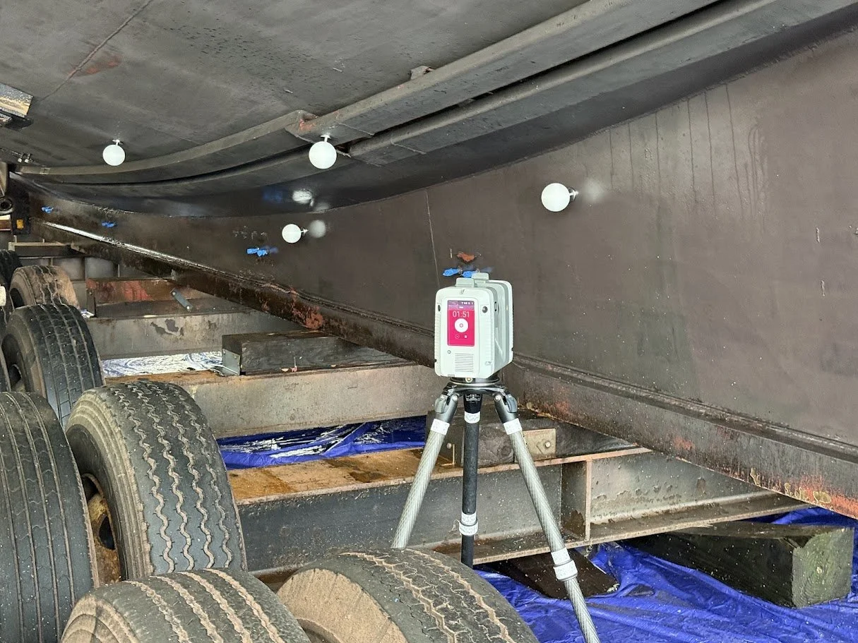
Yachts, commercial vessels, and marine facilities demand documentation that holds up to builders, surveyors, class societies, and insurers. Leica-based laser scanning captures hulls, machinery spaces, and interiors for shipyard builds and refits, condition and pre-purchase surveys, casualty claims, and GeoCloud-hosted digital twins, backed by a background as a master mariner and shipbuilder.
Specialty Applications
Some environments demand documentation that cannot be improvised. For insurance and claims, scanning documents conditions before and after a loss with measurable, defensible accuracy. In aviation, it captures hangars, maintenance facilities, and aircraft interiors for expansion, equipment fit-up, and refurbishment. For resorts and campuses, it supports renovations and amenity planning without disrupting guests, and in historical preservation it creates a permanent, highly detailed digital record of irreplaceable structures.
3D Services Built to Fit Your Business, Not the Other Way Around
You don't need to know anything about 3D to work with us. Whether your team lives in BIM software or you prefer a roll of printed drawings on the truck seat, we deliver the format that works for you.
Digital-First Teams
Full Revit/BIM models, point clouds, Digital Terrain Models, and CAD-ready files.
REQUEST A CONSULTATION →
Paper & PDF Teams
Clean, printable 2D plans and elevations, no software required, no learning curve.
REQUEST A CONSULTATION →
CONSTRUCTION
Protect Schedule and Budget, Bid to Closeout
Accurate existing conditions and coordination support that help GCs, architects, and engineers protect schedule and budget, from bid to closeout.
Fewer Surprises on Site
Bid and plan against real, verified existing conditions instead of outdated drawings or assumptions.
Reduced Rework
Catch conflicts and errors before they reach the field, cutting the rework that quietly eats into schedule and margin.
Risk Reduction
Replace assumptions with verified conditions, lowering the odds of costly surprises mid-build.
Fewer Change Orders
Catch clashes and discrepancies before they become costly field problems.
Increased Build Quality
Build against a single accurate model so crews execute to the same standard every time, first time.
Informed Pre-Fabrication
Fabricate off-site with confidence when components are built against real, measured conditions instead of guesswork.
Faster Coordination
Give every trade a shared, accurate model to design and build against.
Digital Progress Monitoring
Track progress against the model at every phase, catching deviations early instead of at final inspection.
Digital Estimating
Generate accurate quantity takeoffs and cost estimates straight from verified 3D data, tightening budgets before ground is broken.
Improved Site Safety
Plan site logistics and flag hazards using accurate 3D data instead of walking into unknowns.
Obsidian 3D has worked directly with construction projects across Central Oregon, delivering existing conditions scans, coordination-ready models, and 2D documentation that plug straight into standard processes, whether your team works in Revit or on printed plans. The turnkey service covers most projects at a straightforward price, and larger or more complex sites can draw on deeper BIM and point cloud services as needed.
Sources: [1] McKinsey & Company, research on capital project cost overruns and schedule delays. [2] Dodge Data & Analytics / Autodesk, research on change orders and RFIs in construction. [3] Construction Industry Institute (CII), studies on rework as a share of total project cost. [4] Dodge Data & Analytics, Prefabrication and Modular Construction SmartMarket Report. [5] Hexagon, The Digital Twin Industry Report, 2024. [6] Industry research on drone- and reality-capture-based site monitoring and safety outcomes.
Related industries: AEC, Custom Fabrication, Civil Engineering & Infrastructure, Novel Design & Reverse Engineering.
HEALTHCARE
Document Complex Facilities Without Disruption
Accurate facility documentation for complex, sensitive environments, built around your operational realities, not just the drawings.
Renovate with Confidence
Understand existing conditions before touching a space that cannot afford surprises.
Minimal Disruption
Fast, non-invasive scanning designed to work around active facility operations.
Long Term Facility Records
Build a lasting digital record that supports future renovations, expansions, and compliance needs.
Healthcare facilities carry unique constraints: active patient care, infection control, and limited access windows. Obsidian 3D's scanning process is fast and unobtrusive, and can be scheduled around off-hours or low-traffic periods. Deliverables are built to support planning, renovation, and long-term facility management, in whatever format your team works in.
Related industries: Healthcare, Bioscience & Medical Device Industry.
MUNCIPALITIES
Lasting Records for Civic Assets
Accurate, lasting documentation for civic buildings and public infrastructure, built to support planning, maintenance, and public accountability.
Public Accountability
Maintain accurate, verifiable records of civic buildings and public assets.
Better Capital Planning
Make informed, defensible decisions about infrastructure investment and maintenance priorities.
Institutional Continuity
Preserve facility knowledge that would otherwise be lost with staff turnover.
Whether it is city hall, a library, a water treatment facility, or a stretch of road and utilities, Obsidian 3D can document it accurately and deliver files your team can act on immediately, with no specialized software required to make use of them. It is the same underlying process behind the Bend downtown dataset project, a scalable way to build and maintain accurate civic records over time.
Related industries: Small City Governments & Municipalities, U.S. Government & U.S. Military, Law Enforcement & Public Safety, Educational Outreach, Nonprofit Support & Educational Institutions.
INFRASTRUCTURE
Confidence on Large, Complex Sites
Accurate documentation for large, complex sites, giving every stakeholder a shared, verified picture of what is actually there.
Complex Site Coordination
Give engineers, contractors, and agencies a shared, accurate reference for large-scale projects.
Terrain and Site Intelligence
Cover ground that is difficult or time-consuming to survey on foot.
Reduced Field Risk
Plan and verify work with fewer unknowns and less time exposed on active sites.
Obsidian 3D combines laser scanning and UAV mapping to document large or hard-to-access sites (roads, utilities, terrain, and civil infrastructure), producing accurate, shareable data for planning, coordination, and long-term asset records.
Related industries: Infrastructure, Environmental Monitoring & Research.
MARITIME SPECIALTY SERVICES
Reality Capture for Yachts, Vessels & Marine Assets
Obsidian 3D brings the same Leica-based laser scanning and reality capture precision we apply across AEC, municipal, healthcare, and infrastructure work to the marine sector — serving owners, builders, surveyors, insurers, and asset managers who need defensible, high-accuracy documentation of vessels and marine facilities. From new-build QA to condition surveys to digital twins for ongoing asset management, our maritime work draws on nearly two decades of scanning experience alongside a background as a master mariner and shipbuilder.
Engineering & Shipyard Project Support
On-site scan data for marine engineering, naval architecture, fabrication, and shipyard teams working through an active build or refit — structural verification, interference checking, fit-up confirmation, and as-built reference to keep design and construction aligned in real time.
Class & Flag-State Compliance Support
As-built documentation for structural, tank, and void spaces to support class renewal, modification approval, and flag-state inspection prep.
Build & Refit Documentation
Periodic scan capture during new-build or major refit, benchmarked against CAD and design intent, to catch deviations early and create a verified as-built record — before disputes, not after.
Digital Twins & Ongoing Asset Management
GeoCloud-hosted, continuously updatable point cloud models for owners and management companies — supporting maintenance planning, refit scoping, insurance renewal, and crew reference over the life of the vessel.
Condition Surveys & Pre-Purchase Documentation
Full-vessel point cloud capture for brokers, buyers, and surveyors conducting due diligence — an objective, timestamped record of hull, machinery spaces, tender garages, and interior condition.
Historic & Heritage Vessel Preservation
Museum-grade digital archiving for classic and historically significant vessels — precise, permanent documentation of craft that can’t be rebuilt from drawings alone.
Insurance & Casualty Documentation
Post-incident and pre-renewal condition capture for underwriters and adjusters — grounding, fire, and collision documentation built for claims review, not opinion.
Whether you’re planning a refit, preparing for a survey, or managing a fleet, Obsidian 3D can scope a maritime documentation package suited to the vessel and the stakes involved.
SPECIALITY APPLICATIONS
Specialized Environments, Real-World Experience
Insurance and claims, aviation, resorts and campuses, and historical preservation: real-world 3D experience applied to specialized environments.
Insurance & Claims Documentation
Pre- and post-loss capture that gives adjusters and underwriters a measurable, defensible record of conditions.
Resorts and Campuses
Multi-building properties documented efficiently, supporting renovation, planning, and asset management across a whole site.
Historical Preservation
Precise documentation of historic structures and sites, supporting preservation, restoration, and long-term stewardship.
Aviation & Hangar Facilities
Hangars, FBOs, maintenance shops, and aircraft interiors documented for expansion, fit-up, and refurbishment.
From insurance claims and aviation facilities to historic structures and campuses, Obsidian 3D brings the same survey-grade precision to specialized environments, producing deliverables tailored to each field’s unique standards.
Related industries: Interior Design, Designers, Historical Preservation & Cultural Heritage, Entertainment & Media.
Built for Every Seat at the Table
Verified 3D data changes how each role plans, bids, builds, and manages. Here is what shifts when guesswork is replaced with reality.
WHO WE SERVE
DESIGNING BLIND
ARCHITECT / ENGINEER
42%
cite data integration as a top barrier to digital twin value
× Designing around unverified existing conditions
× Redesign cycles from field discrepancies
× Disconnected data across disciplines
WITH VERIFIED 3D DATA
22%
average cost reduction for architecture, engineering & construction firms using digital twin technology
✓ Replace guesswork with captured, verified conditions
✓ Fewer RFIs and redesign cycles
✓ Support prefabrication and modular design
Source: Hexagon, The Digital Twin Industry Report, 2024GENERAL CONTRACTOR
THE DATA GAP
43%
cite data quality is their #1 obstacle to digital twin ROI
× RFIs from site conditions nobody confirmed
× Trade clashes caught in the field, not on paper
× Change orders eating into your margin
WITH VERIFIED 3D DATA
22%
projected annual ROI for architecture, engineering & construction firms adopting digital twin technology
✓ Verified conditions before subs ever mobilize
✓ Clashes resolved in the model, not on site
✓ Documented handoff protects your final draw
Source: Hexagon, The Digital Twin Industry Report, 2024OWNER / DEVELOPER
FLYING WITHOUT INSTRUMENTS
47%
of decision-makers are still unfamiliar with digital twin technology, leaving ROI expectations unstructured
× Capital committed before conditions are verified
× Contingency built on assumptions, not data
× Institutional knowledge lost as teams turn over
WITH VERIFIED 3D DATA
92%
proof organizations that do track ROI report returns above 10%
✓ Verify conditions before capital is committed
✓ Reduce contingency and change-order exposure
✓ Build a permanent digital record that outlasts any team
Source: Hexagon, The Digital Twin Industry Report, 2024ASSET / PORTFOLIO MANAGER
ASSUMED TO BE ENTERPRISE-ONLY
49%
of executives unfamiliar with digital twins come from businesses under $50M in revenue, often assuming the technology is enterprise-only
× Records inconsistent across a growing portfolio
× Due diligence slowed by unreliable data
× Knowledge walks out the door with turnover
WITH VERIFIED 3D DATA
96%
of small and mid-sized businesses using digital twins report seeing real value
✓ Standardize digital records across every property
✓ Move faster through acquisition diligence
✓ Protect institutional knowledge long term
Source: Hexagon, The Digital Twin Industry Report, 2024FACILITY / PROPERTY MANAGER
RUNNING ON OUTDATED RECORDS
43%
cite data quality as their top obstacle to reliable operations data
× Outdated drawings slow every work order
× Assets located by memory, not records
× Capital planning built on guesswork
WITH VERIFIED 3D DATA
35%
improvement in building operations and maintenance efficiency with digital twin technology
✓ Locate assets and infrastructure instantly
✓ Plan capital projects on accurate floor plans
✓ Reduce downtime with better-informed maintenance
Source: Hexagon, The Digital Twin Industry Report, 2024
GET IN TOUCH
Let’s Start a Conversation
Tell us about your project and we'll follow up within one business day.